Saturday,
10/06/2018, Junction Lookout – Hwy546/Sheep River Rd, Bluerock W.P.P.,
Kananaskis, AB
· Round Trip: 26.5km;
Elevation: 2260m; Elevation Gain: Net - 688m, Accumulated – 1211m; Time: RT – 10:45hrs
(09:15-20:00), ascent - 6:05hrs, descent - 3:35hrs; A very long hiking and
snowshoeing trip accessed via a wide but tedious fireroad, no avalanche risk
· Book: ‘Gillean Daffern’s
Kananaskis Country Trail Guide—Volume 4’ by Gillean Daffern
References:
Drive
From Calgary, drive south on Hwy 2/Deerfoot
Trail, take the exit for Okotoks driving south on Hwy2A for 10.9km, turn
right/west onto Hwy7 towards Black Diamond and Turner Valley. After passing
through these two towns, continue driving on Hwy 546 then Sheep River Road.
From Sandy McNabb campground/winter gate, keep driving west for 14.3km to
Indian Oils parking lot on the left side of the road. Driving time would be
around 1:40 hours.
Hike
After the Oct 1st storm, winter
is out there around the Rockies, and even the front range is no exception this
time. With few options to choose, we decided to challenge the lengthy but tame
Junction Lookout trail to exercise our old legs and avoid the avalanche risk at
the same time.
When we arrived at the Indian Oils parking
lot just before 9am, not as early as we should, we found we were the first one
there bearing the chilly air. After gearing up, we went down to the Sheep River,
crossed it over the bridge and hiked on Sheep Trail just like we did Mt Hoffman
last year. The Sheep Trail had boot deep snow and was broken already. So I didn’t
bother to wear my snowshoes while Gua was wearing his in case he needed to
break trail for me after turning to Junction Lookout trail. We followed Sheep
Trail 4.3 km to Dyson Creek, and then took the right/north fork shortly after
crossing the creek.
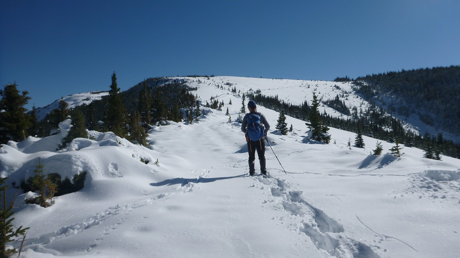
The fire road towards Junction Lookout
looked untouched after the storm, which meant that Gua had to break 8.5km trail
all by himself and I would be struggling in knee-deep snow without snowshoes.
Even though the grade of the road is gentle, with unsupportive snow, our
progress was very slow. As a result, when we reached the summit, it was
already 3:20pm.
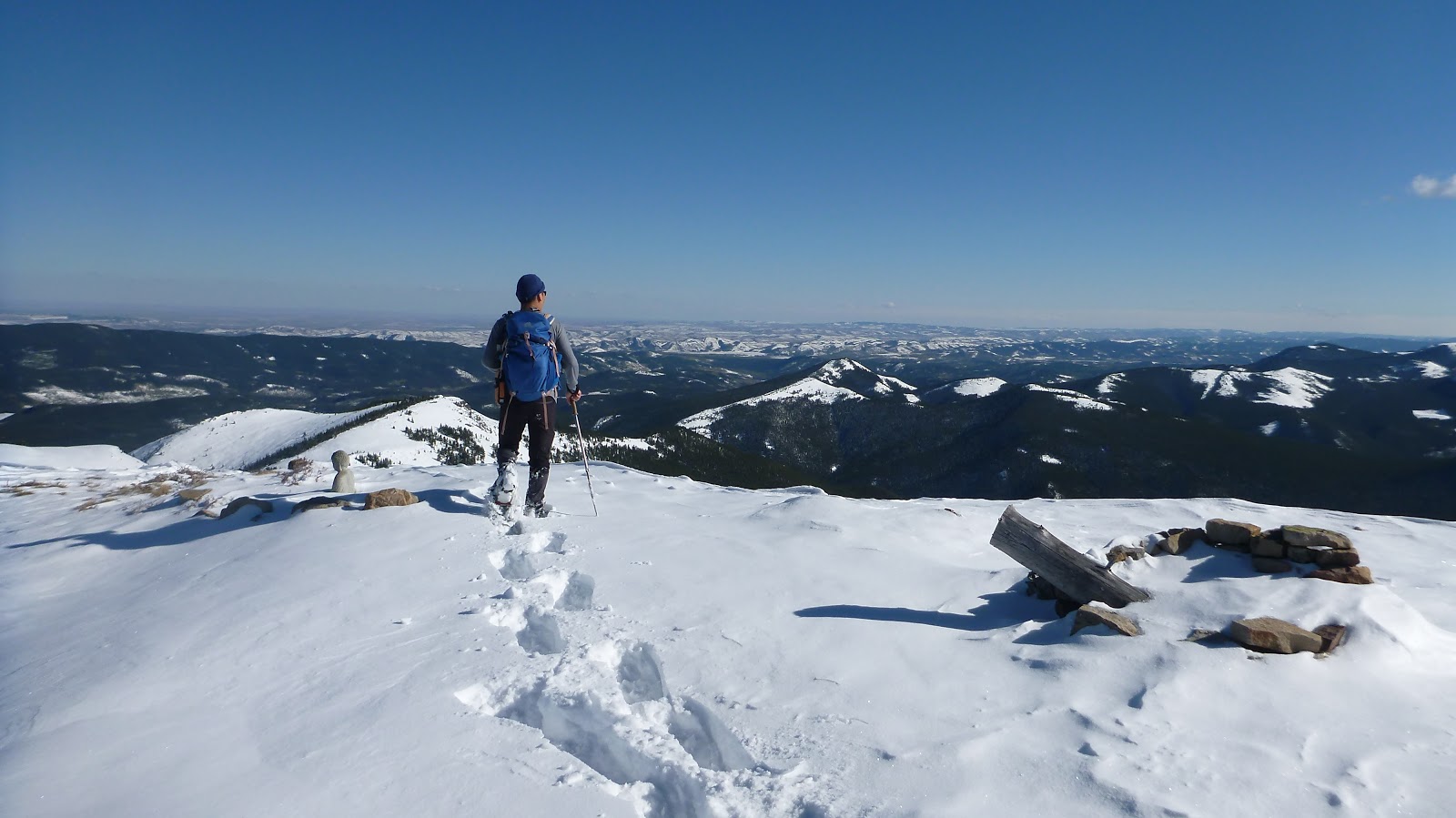
The ground of
Junction Lookout was covered in snow and hard to find a dry place to rest our
tired legs, but the mile weather, blue sky, and wonderful winter scenery quickly
whisked away our tiredness. In spite of the fact that the time was strained, we
still spent slightly more than an hour before returning the same way. In consequence, we ended up hiking with headlamp for the last hour.
Although this was
a 26.5 km long hike in unsupportive snow, we would still be able to prevent
from hiking in the dark if we started one hour earlier. The view on the top was
great but the approach was so long and viewless that we would not want to
repeat it anymore.

Hiking down towards the Sheep River

Hiking the Sheep Trail in the morning sun

Junction Looking out at left and Junction Mtn at right

Follow Sheep Trail 4.3 km to Dyson Creek

Crossing Dyson Creek

An icy doughnut on the way up

Looking at the Lookout building before taking a sharp left turn

The route after taking a sharp left turn

Looking back

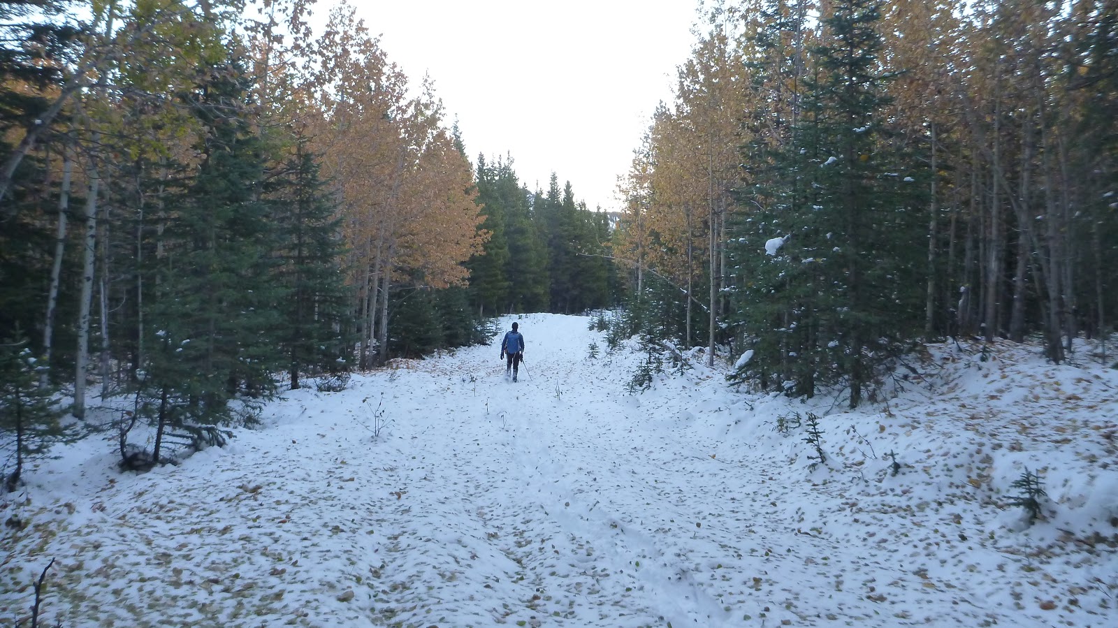
The unsupportive snow on the untouched fire road slowed down our progress

Look at that bluebird sky
Approaching the Lookout

The last stretch to the Lookout

Standing on the summit of Junction Lookout facing the foothills to the east
View southeast with Mt Burke(CR) and Plateau Mtn(R of Burke) in the b/g

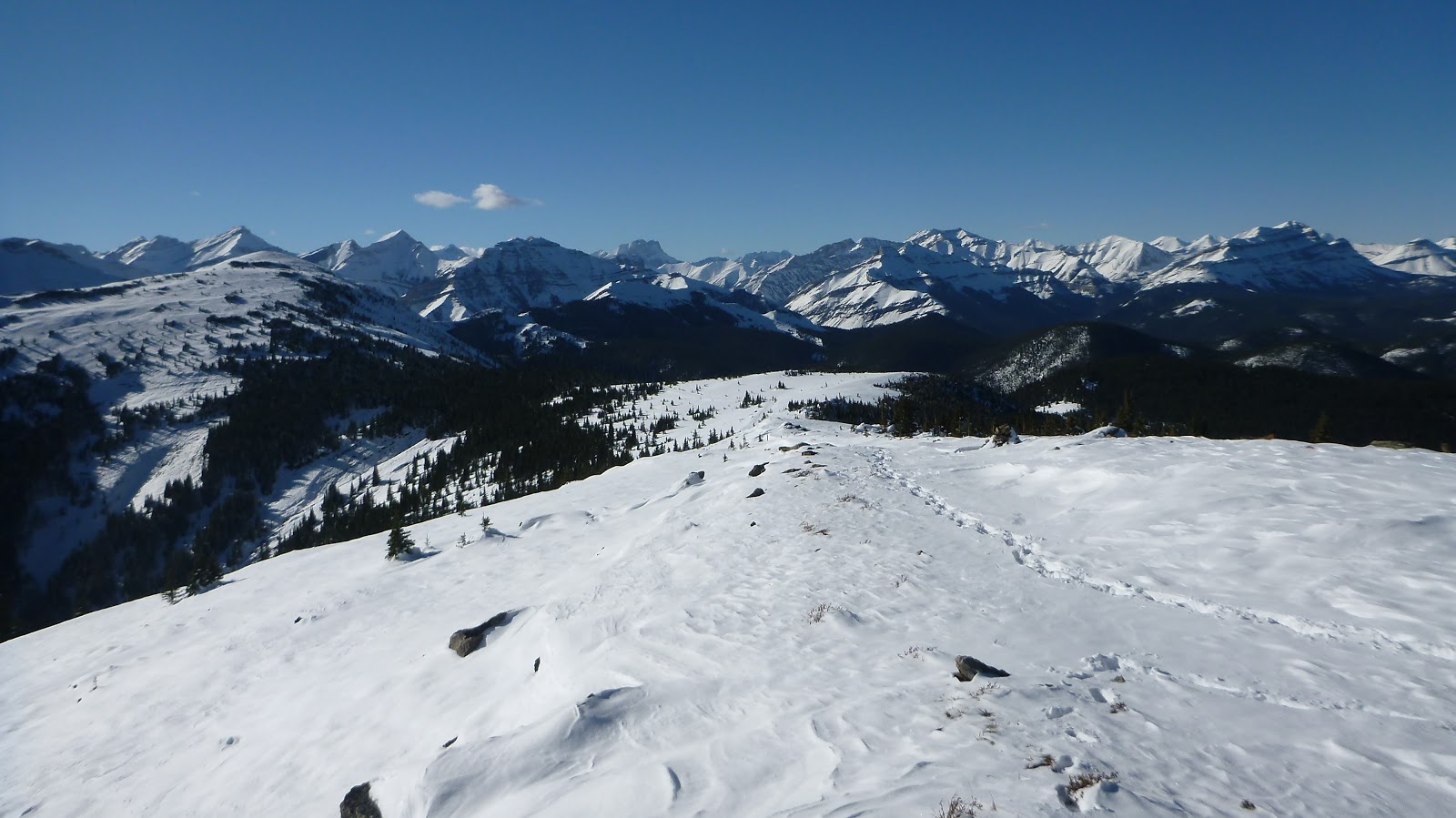
The long ridge of Junction Mtn blocking the views to the south-southwest

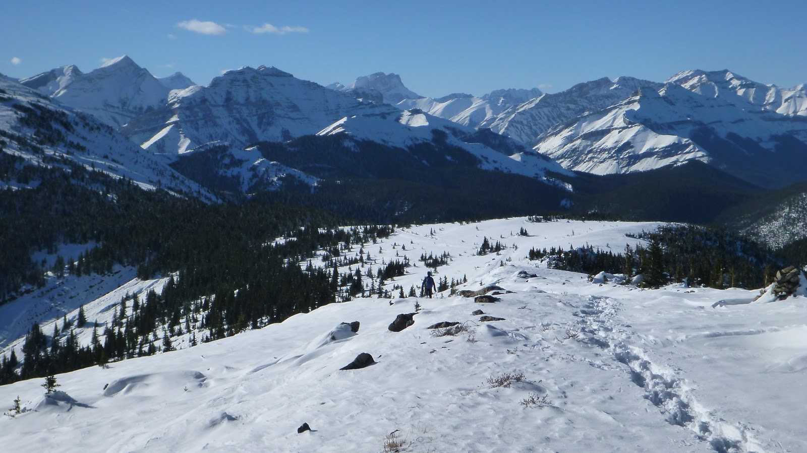
View west with Junction Mtn at left, Highwood Peak to the right of center in the b/g and Shunga-la-she at right

Looking west-northwest to (l-r) Highwood Peak, Shunga-la-she(CL), Mt Rae(B), Mt Burn(CR), Bluerock Mtn(R) and Mt Rose(far right)
View north. l-r: Bluerock Mtn(L), Mt Rose, Threepoint Mountain, Forgetmenot Mtn(B), Mt Ware(M), Mt Hoffman(F), Surveyor's Ridge(C,M), Prairie & Moose Mountains(CR,B), Volcano Ridge(CR,M), Allsmoke Mountain(B), and Missinglink Mountain(M)

Closer looking north

Mt Burke(CL) and Plateau Mtn(CR) to the SE

Mt Burn to the northwest

A closer look at Bluerock Mtn(L), Mt Rose(C), Threepoint Mountain(C), Forgetmenot Mtn(R), and Mt Ware(rightmost)

Zooming in on Bluerock Mtn

Mt Rose and Threepoint Mountain to the northwest

The downtown of Calgary

Panorama of the Lookout

Junction Mtn

Panorama of Junction Lookout

Going down
Mt Burn in the center

On the way down

Some fall colour along the way down
Dyson Creek ahead. After crossing the creek, we followed Sheep Trail back to the car in the dark.

The end.
No comments:
Post a Comment