Saturday,
10/20/2018, Mist Ridge – Hwy40, Elbow-Sheep W.P.P., Kananaskis, AB
· Round Trip: 23.5km;
Elevation: 2573m; Elevation Gain: Net – 793m, Accumulated – 1290m; Time: RT – 9:10hrs
(8:55-18:05), ascent – 4:40hrs, descent
– 3:10hrs; A long hike with scenic ridge walk on ascent and boring forest walk
on descent if doing a loop in counterclockwise direction
· Books: ‘Gillean Daffern’s
Kananaskis Country Trail Guide 4th Edition — Volume 5’ by Gillean Daffern
References:
Drive
From Calgary, drive west on Hwy 1 for about 60km
and take exit 118, then head south on Hwy 40 for about 83.9km slightly before
the Mist Creek day-use area, park beside the Mist Creek trailhead on
the left/northeast side of the road. Driving time would be around 1:40
hours.
Hike
Mist Ridge, a long ridge to the east of
Mist Mountain and Mist Creek, is famed for its pleasant and scenic ridge walk,
but a long haul, although easy, while returning down Mist Creek trail from Rickert's
Pass. Therefore, the key to success this trip would be an early start.
From our parking
spot, we hiked on the Mist Creek trail like the trip to South Mist Hills last
fall for about 1.6km (20 min) to a signed junction and took the right fork onto
the unofficial Mist Ridge trail. We saw bear paw prints before the trail forks
again at about 3.6km where we headed straight down while the trail to South
Mist Hills heads hard right and up. The clear paw prints seemed fresh enough to
scare us to bring out the bear spray until we saw it off the trail and
disappear into the woods at where the trail makes a sharp left turn. After
that, we followed the trail down, then gradually went up and traversed on the
west slope of the north hill of South Mist Hills to the col between it and the
south end of Mist Ridge. From the col, we headed left and followed the trail up
to the south summit of Mist Ridge. It was very windy up there, and we didn’t
stay long before going north along the ridge. Even though the trail is mostly
on the left side of the ridge, we still tried our best to hike along the right
side to shelter from the wind even postholing knee deep snow sometimes. The
other unexpected benefit we got was travelling close to larches whose colour was
still holding up. After doing some postholing, Gua's injured right knee started
to pain him so sharply that he couldn’t keep up with me, but he did reach the
summit successfully and just a little later than me.
By the time we
arrived at the summit of Mist Ridge, the wind was so strong that we were in no
mood for taking pictures and got down the east side of the ridge to seek shelter
instead. But with some rest, we were able to brave the wind and take a lot of
pictures before heading down to Rickert’s Pass.
From the north
summit, we hiked down northward along the ridge first, then dropped down left
side onto Rickert’s Pass trail well before the rockband ahead, then followed
the trail to the pass. From the pass, the return via Mist Creek trail was
uneventful except meeting two ptarmigans and seeing more bear paw prints.
All in all, this
was a great trip in shoulder season where bigger objects are all white. It
would be a good snowshoeing trip in winter too if you can move at a quick pace.

The trailhead

Turn left onto Mist Creek Trail

Hike on the Mist Creek trail for about 1.6km to a signed junction and take the right fork onto the unofficial Mist Ridge trail

Bear paw prints on dirt ground

Bear paw prints on snow

Looked like we were in the same direction

The trail forks again at about 3.6km where Mist Ridge trail goes straight down while the trail to South Mist Hills heads hard right and up

Traversing on the west slope of the north hill of South Mist Hills to the col between her and the south end of Mist Ridge

From the col, heading left and following the trail up with the south end of Mist Ridge at right

Looking back to the three peaks of South Mist Hills

Odlum Ridge to the south-southwest

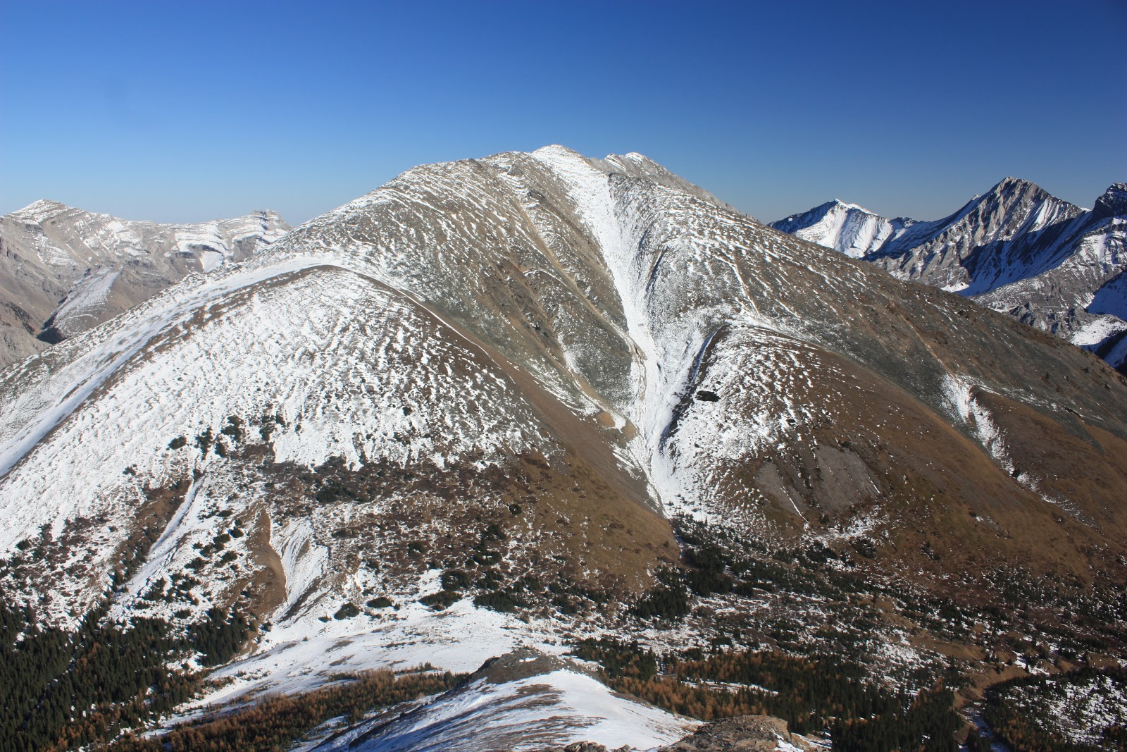
Eagle Ridge(L) is dwarfed by her proximity Mist Mtn(C)

The south summit cairn started to emerge

l-r: Mist Mtn, Storm Mtn (CR) and Mt Rae(R) to the northwest from the south summit of Mist Ridge

Looking south over the neat cairn

View southeast

A pano (S-W-N) from the south summit

Continue going north along the ridge

Zooming in on the city of Calgary

The wider part of the ridge

It's still a long way ahead

Losing some elevation here
An air craft overhead in the cloudless sky

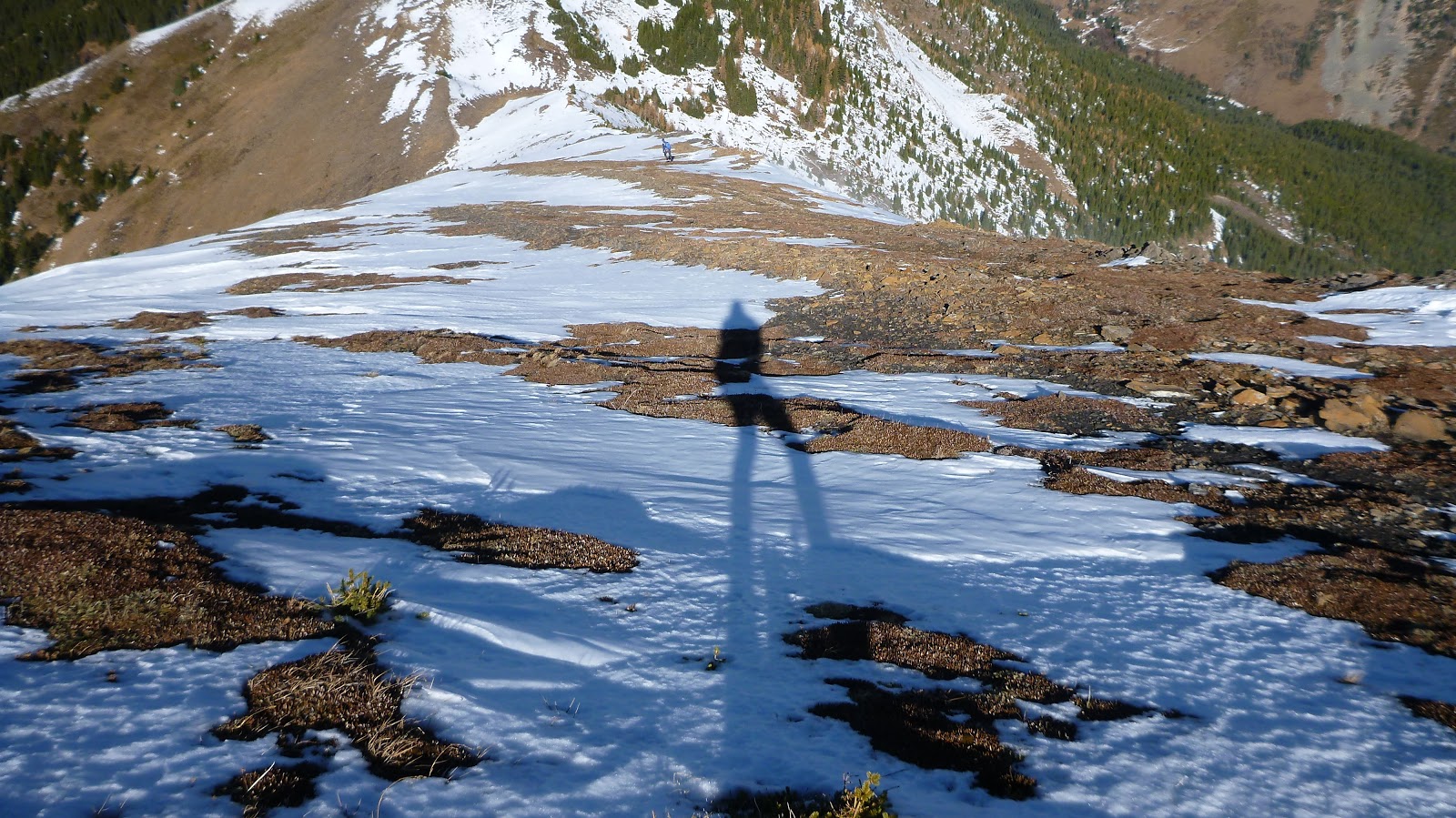
Even though the trail is mostly on the left side of the ridge, we still tried our best to hike along the right side to shelter from the wind even postholing knee deep snow sometimes

Travelling close to larches whose colour was still holding up

So pretty and peaceful

Gibraltar Mtn has similar colour with Larches in front of her

Looked like we had more bumps to get over

Finally on the summit of Mist Ridge

Gibraltar Mtn dominates the view to the east
View south along the long ridge of Mist Ridge

View southwest

The long wall of Mist Range blocks the view to the west

The ridge continues to expand to the northwest and connects with the outliers of Storm Mtn(L,B)

Looking north deeply into the Sheep River Valley with Cougar Mtn on the left of center and Mt Burns on the right of center

Closer look at the end of the valley with Tombstone Mtn(CL) and Opal Range forming the backdrop

A close-up of Storm Mtn

A telephotograph of Mt Rae to the northwest

Storm Mtn (L) and Mt Rae(R) stole the show to the northwest

Zooming in on Tombstone Mtn and Opal Range

Panoramas from the summit of Mist Ridge


Leaving the north
summit by hiking down northward along the ridge first

Dropping down left side onto Rickert’s Pass trail well before the rockband ahead

Following the trail to the pass

Looking back

The larches and beautiful valley to the south

Traversing to the pass

Going up to Rickert’s Pass

The pass seemed very popular

Admiring Mt Burn from the pass


From the pass, the zigzag joins to the Mist Creek trail

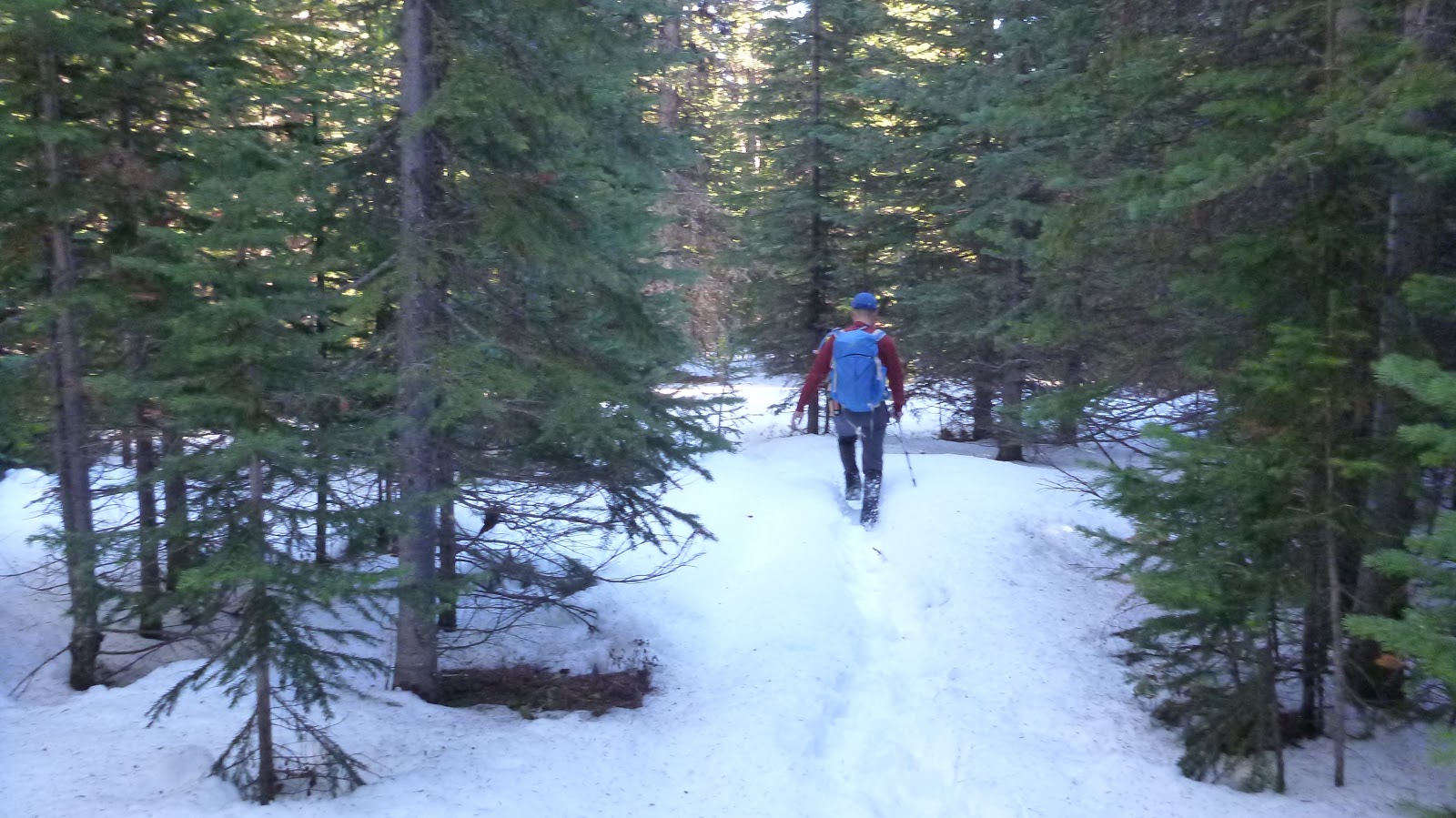
Hiking through the trees on Snow-covered Mist Creek trail


Anxiously entering bear's playground

Seeing more bear paw prints while crossing the meadow

Back to the signed junction

Back to the trailhead

The end.

Dropping down left side onto Rickert’s Pass trail well before the rockband ahead

Following the trail to the pass

Looking back

The larches and beautiful valley to the south

Traversing to the pass

Going up to Rickert’s Pass

The pass seemed very popular

Admiring Mt Burn from the pass


From the pass, the zigzag joins to the Mist Creek trail

Hiking through the trees on Snow-covered Mist Creek trail

Anxiously entering bear's playground

Seeing more bear paw prints while crossing the meadow

Back to the signed junction

Back to the trailhead

The end.
No comments:
Post a Comment