Sunday, 9/09/2018,
Mt Kent – Smith-Dorrien/Hwy742, PLPP, Kananaskis, AB
· Round Trip 6km; Elevation:
2651m; Elevation Gain: 880m; Time: RT - 5:45hrs (11:20 - 17:05), ascent - 3:05hrs,
descent - 1:55hrs; moderate scramble with some moderate bushwhacking and steep
slope
· Books: ‘More scrambles in
the Canadian Rockies’ by Nugara, Andrew
References:
· Mount Kent, 2635 m (8,645ft), 50.7331N -115.191W, Located
east of Smith Dorrien Creek, 6 km northwest of the north end of Lower
Kananaskis Lake, Range: Kananaskis, Province: Alberta, Park: Kananaskis,
Headwater: Bow, Visible from Highway: 40S, 742.
· Year Named: 1917, Named for: HMS Kent was a battle cruiser
with the Royal Navy during WW I. (from peakfinder.com))
Drive
From Calgary, drive
west on Hwy1 for about 60 km, then turn south onto Hwy40 for about 50 km to the
Kananaskis Lakes Trail turnoff. Turn right and drive 2.2 km to the Smith
Dorrien Trail / Hwy 742 - Kananaskis
Lakes Trail junction. Turn right onto Hwy 742 for another 10.3 km, park
on the right / east side of the road at a double drainage. Driving
time would be around 1.5 hours.
Hike
With questionable weather forecast we figured a short hike up Mt Kent
plus a late start would be suitable and avoid the rain in the forecast.
We started hiking up the narrow drainage for a
while then went up its left or right bank for keeping away from slick rocks and
dead falls in it. We later followed some animal tracks on the left side of the
drainage up but was led back to the drainage by a good trail around 15 minutes
after crossing the High Rockies Trail. The drainage was narrow, slippery, and
overgrown. At some places, we had to scramble up some smooth slabs with small
hand and foot holds. At where the water ran down the drainage we needed to
watch our steps too. This drainage will split at the foot of the ascent slopes
of Mt Kent, and our plan was to take the left fork while Nugara suggests taking
the right one in his scramble book. However, we didn’t reach the foot of the
ascent slopes as we planned, but rather ascended the grassy slope on the left
side of the drainage 300 metres (10 minutes) before the drainage splits. From the
top of this steep slope we turn right follow the ridge line to the end only
to find that we were standing on the edge of a cliff. Fortunately, we were able to find a
weakness by descending a little to the left to downclimb this cliff to the col
connects the ascent slope of Mt Kent. From the col we simply ascended the steep
slope northeastward up to the ridge crest, and then turned right and carefully
walked the ridge to the summit of Mt Kent. It is worth mentioning that the
ridge to the summit is exposed in places, and if you chose to walk below it you
have to deal with unpleasant sidesloping on a steep slope with less exposure.
The summit view was a little pale under an
overcast sky but at least it wasn’t wet and windy. After taking some pictures,
we descended southeastward along the ridge making a loop. Surprisingly, this part
of the ridge was much easier and safer than the part we ascended. Upon downclimbing
a rock band, we turned right and went down the southwest slope and were able to
scree-run down half of the slope before traversing to a side drainage leading
back to the main ascent drainage. Since I didn’t like the drainage, we then
followed a trail up the ridge to the right (north) and bushwhacked back to the
car. If we haven’t had follow the trail too far west or have just picked up our
ascent line, we might can reduce the amount of bushwhacking and make our
descent faster.

Starting hiking up the narrow drainage

Keeping away from slick rocks and dead falls by hiking up the left side of the drainage

Crossing the High Rockies Trail

A trail leading back to the drainage

The narrow, slippery, and overgrown drainage

Scrambling up some smooth slabs with small hand and foot holds

This drainage will split at the foot of the ascent slopes (in the background) of Mt Kent

Leaving the drainage 300 metres (10 minutes) before the drainage splits

Almost up to the top of the grassy slope on the left side of the drainage

From the top of the steep slope, following the ridge line towards northeast

The dead end of the ridge

Downclimbing the cliff to the col connects the ascent slope of Mt Kent

Looking back to the weakness

Looking back the cliff we downclimbed

The drainage route up to the col

Looking up the steep ascent slope from the col

Giving an idea of the steepness of the slope

Looking southeast towards the summit of Mt Kent from the ridge crest

Looking northwest towards North Kent (CL) from the ridge crest

Carefully walking the ridge to the summit of Mt Kent


Looking back from the summit of Mt Kent. Note the big drop on the right side of the ridge

Summit views to the east towards Opal Range

View SE

View south

View southwest

View west

View north-northwest towards (l-r) North Kent, Mt Inflexible (C), and Mt Lawson

Mt Lawson dominates the view to the north-northeast

Looking northeast over the ridge of Mt Lawson to Opal Range

A pano (SE-S-NW) from the top of Mt Kent

A close-up of Mt Inflexible and Mt Lawson

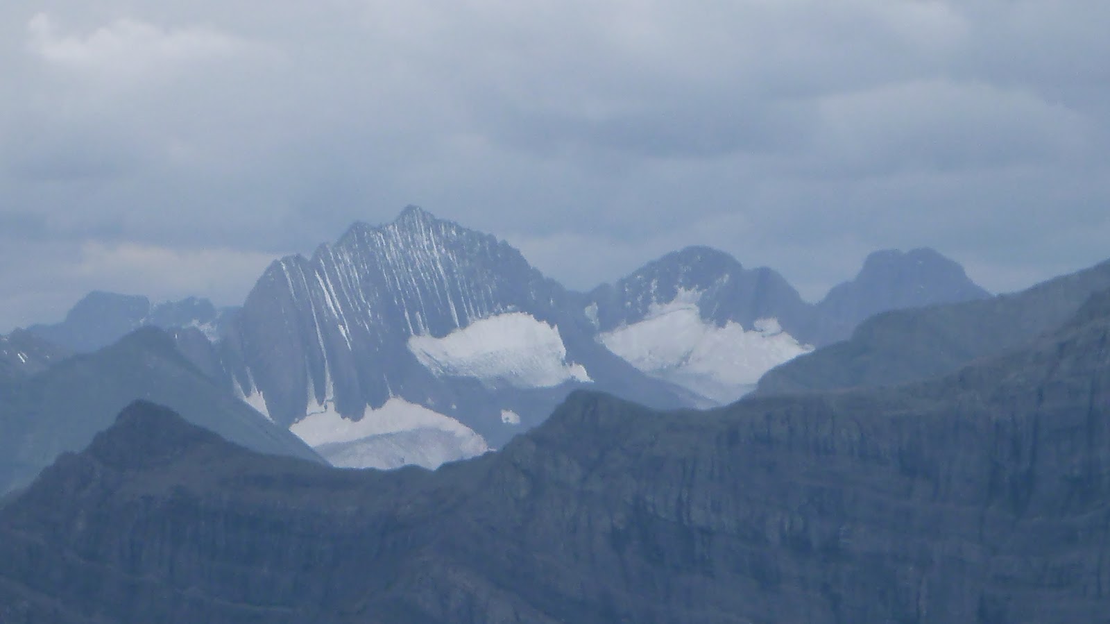
Zooming-in on Mt Denny(L) and Mt Potts(R)

Mounts (l-r) Evan-Thomas, Packenham(CR), and Hood

Mounts (l-r) Brock, Blane, and Burney(R)

Elpoca Mtn(CL) and Mt Rae(C) to the southeast


Mt Murray(L), Cegfns(CR), and Mt Birdwood(R,B) to the northwest


Descending southeastward along the ridge making a loop

Going down the southwest slope after downclimbing a rock band

Looking back the rock band just downclimbed

Traversing skier's left to avoid the slabs

Descending the dark dirt slopes to the right of the slab slopes

Fall colour starting to appear

Down a side drainage

Back to the main ascent drainage

About to follow a trail up the ridge to the right (north) and bushwhacked back to the car

The trail was well defined but kept going west, a wrong direction

On the HRT

Back to the car

The end.
No comments:
Post a Comment